
Retention Ponds vs. Cattle Ponds: Sizing, Excavation, and Permitting Basics for Florida Landowners
Learn the differences between stormwater retention basins and cattle ponds in Florida, from depth to SWFWMD rules. Call Level One Grading today!

Miguel Orozco

Water is Central Florida's most abundant natural resource, but managing it requires careful engineering and deep respect for local hydrology. Whether you are developing a commercial property in Lakeland, clearing acreage for livestock in Plant City, or managing stormwater on an equestrian estate in Pasco County, excavating a pond is often an essential component of land improvement.
However, landowners frequently confuse civil stormwater retention ponds with agricultural livestock or cattle ponds. While both involve moving thousands of cubic yards of earth, their regulatory requirements, excavation geometry, depth profiles, and operational purposes are completely different.
In this detailed civil earthwork guide, Level One Grading outlines the critical distinctions between stormwater retention ponds and agricultural cattle ponds to help you make informed decisions before mobilizing heavy machinery on your property.
1. Stormwater Retention Ponds: Civil Drainage & Compliance
Retention ponds (categorized as wet retention basins or dry retention detention areas) are engineered civil structures designed to capture, treat, and slowly absorb stormwater runoff generated by impervious surfaces like roofs, parking lots, concrete pads, and paved roadways.
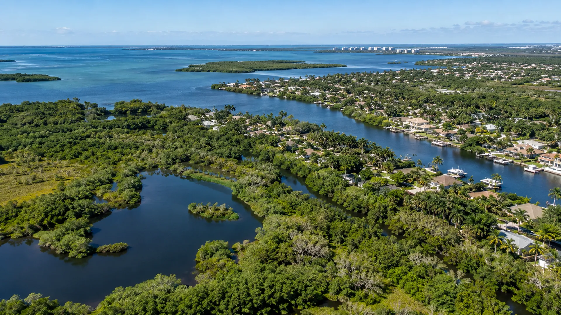
Purpose and Water Quality Treatment
When rain falls on undisturbed pasture, the native sandy ground absorbs the moisture naturally. But when barns, houses, and paved roads are constructed, runoff surges exponentially. Retention ponds prevent this surge from flooding downstream parcels while filtering out sediment, heavy metals, and fertilizers before the water enters regional aquifers or river basins.
Key Civil Engineering Characteristics:
- Engineered Slopes: Retention ponds typically require gentle side slopes (frequently 4:1 horizontal-to-vertical ratios, or a maximum of 3:1) to allow maintenance mowing and meet public safety codes.
- Control Structures & Outfalls: They incorporate concrete overflow weirs, skimmer boxes, and discharge pipes set at mathematically calculated elevations to regulate discharge rates.
- Littoral Zones: Environmental protection mandates require shallow biological shelves (1 to 2 feet deep) planted with native aquatic wetland plants (such as pickerelweed, arrowhead, and soft rush) to absorb nitrates and phosphorus.
- Strict Regulatory Oversight: Retention basins fall under the strict jurisdiction of the Southwest Florida Water Management District (SWFWMD, commonly known as 'Swiftmud') and county stormwater management divisions.
2. Agricultural & Cattle Ponds: Livestock Hydration & Drought Insurance
In contrast to retention basins designed for runoff treatment, cattle ponds (farm ponds) are excavated primarily for livestock hydration, pasture management, fire protection, and agricultural fill generation.
Purpose and Drought Resilience
A livestock watering pond must provide dependable, year-round water for cattle or horses, even during Florida's severe spring dry season (March through May) when water tables drop several feet.
Key Agricultural Excavation Characteristics:
- Steeper, Deeper Profiles: To minimize evaporative water loss under the intense Florida sun, cattle ponds are dug significantly deeper than retention basins -- often 10 to 18 feet deep, cutting directly into the permanent groundwater table.
- Stock Ramps & Hardened Access: Livestock will quickly churn muddy pond banks into dangerous bogs where animals can become trapped. A properly excavated cattle pond includes stabilized, gently sloped gravel entry ramps where herds can drink safely without eroding the pond edge.
- Spoil Bank Management: The excavated dirt (clean fill dirt or clay) can be spread across surrounding low spots, used to build elevated dry pads for livestock shelters during hurricane season, or sold as structural fill.
- Agricultural Permitting Exemptions: Under Florida Statutes Section 373.406, bona fide agricultural operations frequently qualify for permitting exemptions from water management districts, provided the pond is strictly necessary for farming or livestock activities and does not alter offsite drainage patterns.
Detailed Sizing & Engineering Comparison
Understanding the structural differences helps landowners budget accurately for equipment time and earthmoving volume:
| Factor | Stormwater Retention Basin | Agricultural / Cattle Pond |
|---|---|---|
| Primary Goal | Stormwater capture & water quality treatment | Year-round livestock hydration & water storage |
| Typical Depth | 4 to 8 feet (or dry basin) | 10 to 18+ feet into permanent water table |
| Side Slope Ratio | 4:1 or 3:1 (safe, mowable banks) | 3:1 on ramps; 2:1 on non-access perimeters |
| Littoral Shelf | Required by code with wetland plants | Optional; usually omitted to prevent weeds |
| Regulatory Body | SWFWMD, County Stormwater Dept, City Civil Codes | FDACS, SWFWMD (Ag Rule exemptions apply) |
| Overflow Design | Engineered concrete weir or culvert drop box | Natural vegetated spillway or overflow swale |
Earthwork and Soil Mechanics in Central Florida
Excavating a pond in Central Florida is not simply digging a hole with a backhoe. Local soil geology dictates whether your pond holds water or becomes a dry sandpit:
Soil Stratigraphy and Permeability
Florida soils vary dramatically over a few hundred yards. If your parcel sits on high ridge sand (such as in parts of Polk County), an excavated pond will drain like a sieve unless it penetrates deep into the static water table or hits an impermeable clay layer (hardpan). Level One Grading evaluates soil boring records or digs test pits to verify water retention capacity before full-scale mobilization.
High-Production Machinery
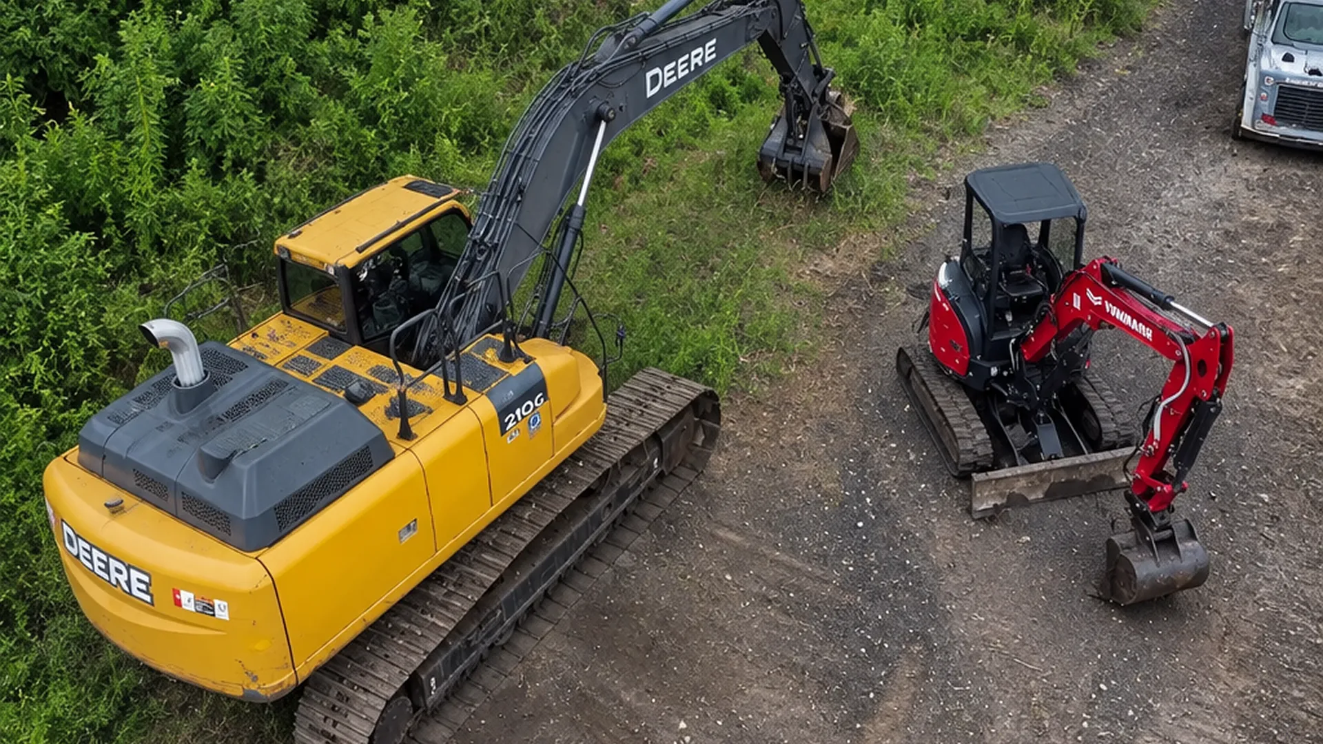
Digging a 1-acre pond requires moving between 10,000 and 18,000 cubic yards of earth. This demands high-capacity hydraulic excavators paired with articulated off-road dump trucks and low-ground-pressure bulldozers to transport, grade, and compact the spoil material efficiently.
Frequently Asked Questions About Florida Pond Excavation
Do I need a permit to dig a pond on my rural Florida property?
If the pond is for bona fide agricultural use on agricultural-zoned land, you may qualify for an exemption under Florida Statute 373.406, but you must submit an exemption notification to SWFWMD. If the pond is part of residential or commercial construction, full civil engineering and stormwater permits are required.
Can I sell the dirt excavated from my pond?
In many Florida counties, transporting excavated soil off-site classifies the operation as a commercial borrow pit, which requires special mining or excavation permits. However, spreading the dirt across your own parcel to raise building pads or fill low spots is permitted and highly cost-effective.
How steep should the banks of a farm pond be?
For cattle access, ramps should never be steeper than 4:1 or 5:1 to prevent livestock injury. For non-access perimeters, a 2.5:1 or 3:1 slope minimizes weed growth while maintaining slope stability against cave-ins.
Key Site Evaluation Checklist Before Breaking Ground on a Florida Pond
Before an excavator walks off the lowboy trailer onto your pasture, our project managers evaluate five critical geographical parameters:
- Seasonal High Water Table (SHWT): Determined by soil mottling, iron accumulation indicators, and local USGS monitoring wells to project dry-season versus rainy-season water elevations.
- Upstream Watershed Area: Measuring the acreage draining across your parcel to calculate overflow spillway capacity during tropical storm deluges.
- Subsurface Soil Profiles: Identifying layers of fine white sugar sand, impervious hardpan, or heavy ball clay that impact embankment stability and water retention.
- Utility Easements and Underground Pipelines: Clearing all regional gas, petroleum, and fiber lines that frequently run across rural acreage easements.
- Access Corridors for Heavy Iron: Establishing dedicated haul routes for 25-ton articulated dump trucks to prevent pasture rutting and soil compaction outside the work zone.
Partner With Central Florida’s Pond Excavation Specialists
Whether you need an agricultural watering basin for your pasture or an engineered stormwater retention pond for a commercial development, precision execution makes all the difference.
Level One Grading brings GPS-guided excavation, heavy earthmoving equipment, and comprehensive site prep experience to projects throughout Plant City, Lakeland, Tampa, and surrounding counties. Call us today to discuss your pond project and request a site evaluation.

About Miguel Orozco
Miguel Orozco is the President of Level One Grading, a trusted Central Florida grading and excavation company, delivering precise earthwork solutions and dependable results for residential and commercial projects since its founding.